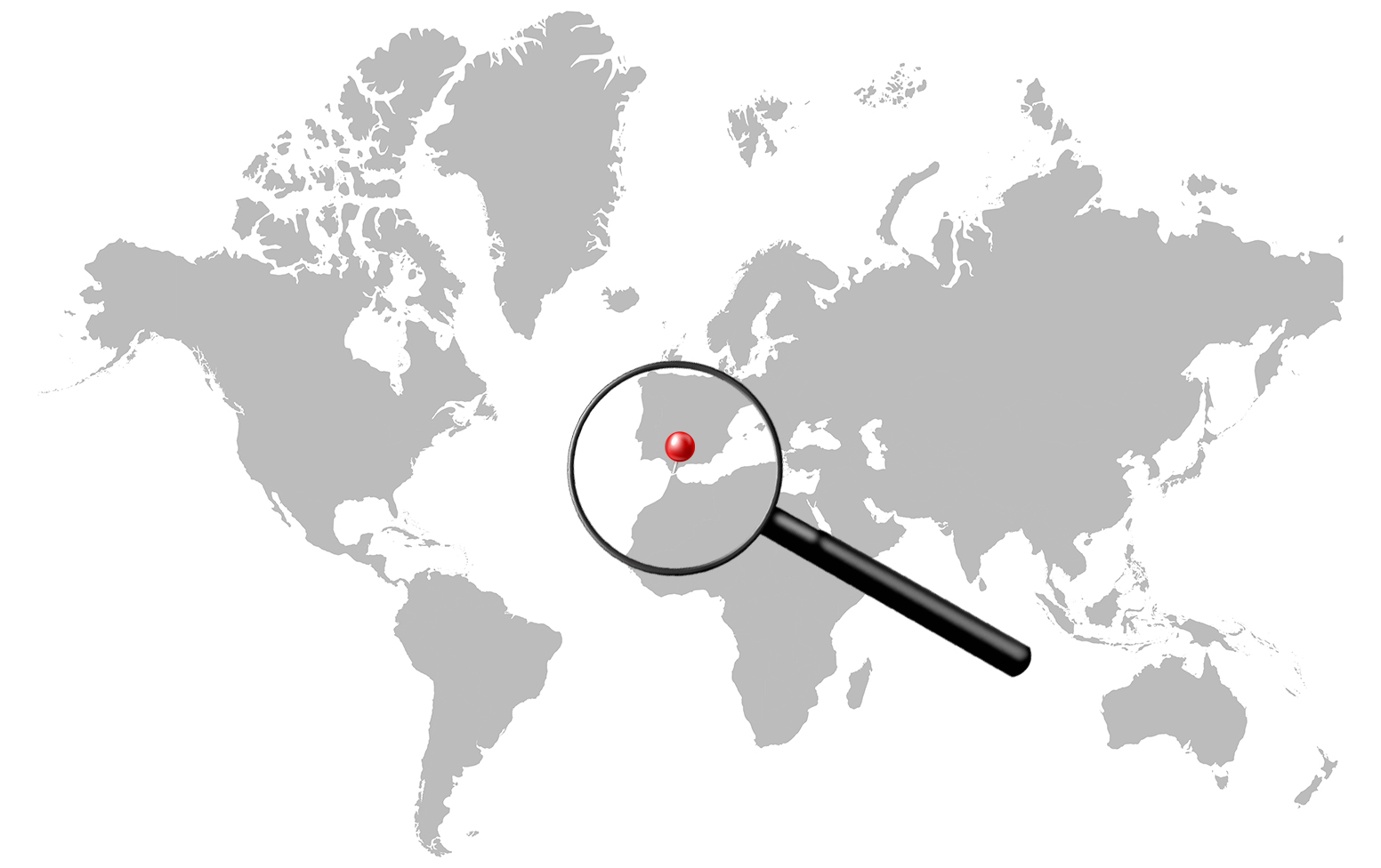
The One Gap That Ties It All Together
Somewhere in your kitchen there might be a bottle of Moroccan olive oil, a tin of Italian tomatoes, or a crate of Greek feta bound for a supermarket shelf. Each of those goods passed through a strip of water just 14 kilometres wide, between the southern tip of Spain and the northern coast of Morocco. No matter which port loaded the ship, no matter where it was heading, it had no choice. There is only one door in and out of the Mediterranean, and it is here, at the Strait of Gibraltar. Every tanker, container ship, and grain carrier uses it.
A Channel Between Two Worlds
The Strait of Gibraltar is roughly 58 kilometres long and narrows to about 14 kilometres at its tightest point, less than the distance between some city suburbs. On the northern shore: Spain and the small British territory of Gibraltar. On the southern shore: Morocco. On one side of that gap lies the Atlantic Ocean, open and restless. On the other, the Mediterranean Sea, a closed basin with no natural exit to any other ocean.
The ancients called the rocky headlands flanking this passage the Pillars of Hercules, the edge of the known world, beyond which lay the unknown Atlantic. In Greek mythology, Hercules himself set those rocks in place. For millennia, the strait served as both a threshold and a warning. For modern shipping, it is the only toll gate into one of the most commercially important seas on the planet, according to Port Economics research on maritime chokepoints.
What Moves Through Those 14 Kilometres
Between 100,000 and 110,000 vessels pass through each year, making Gibraltar one of the busiest maritime corridors in the world.
The cargo is enormously varied. Oil tankers, including Very Large Crude Carriers (VLCCs), which the strait’s depth of up to 300 metres can comfortably handle, move crude from the Middle East and West Africa into Mediterranean refineries and out to Atlantic markets. Liquefied natural gas carriers bring Algerian and Libyan gas westward to European buyers or onward to global LNG terminals. Russian oil exports heading to non-European buyers frequently transit westward through the strait.
Container ships running in the other direction link Europe’s Mediterranean ports to Asia, the Americas, and sub-Saharan Africa. Bulk carriers move grain from Black Sea exporters outward, returning with fertilizers or metal ores. The strait carries east-west trade and north-south Atlantic crossings simultaneously, a constant, choreographed flow documented by the U.S. Energy Information Administration’s world oil transit chokepoints analysis
A Sea With No Back Door
Most major bodies of water have multiple access points. The Mediterranean does not. It is ringed almost entirely by land, Europe to the north, the Middle East to the east, North Africa to the south. The only other narrow connection is the Bosporus in Turkey, which links the Mediterranean to the Black Sea, itself a semi-enclosed sea, not the open ocean.
Every port on the Mediterranean: Marseille, Genoa, Barcelona, Athens, Alexandria, Algiers, Beirut, Istanbul, depends entirely on Gibraltar for access to global shipping. If the strait closed, Spain, France, Italy, Greece, Turkey, Egypt, Algeria, and Morocco would all be severed from Atlantic trade at once. No re-routing is possible. No alternative channel exists. Gibraltar is not merely important, it is structurally irreplaceable, a point reinforced by Port Economics’ analysis of obligatory passage points in global maritime trade.
Algeciras: The Hub Nobody Talks About
Right at the western mouth of the strait, on the Spanish side, sits the Port of Algeciras. It is one of the largest container transshipment hubs in the world, consistently ranked in the global top 20 by throughput, and most people outside the shipping industry have never heard of it.
Transshipment means containers are not just loaded for local use, they are transferred between ships. A giant vessel from Asia offloads boxes onto smaller feeder ships that distribute cargo across the western Mediterranean. Algeciras works as a relay station, perfectly positioned because every deep-sea vessel entering the Mediterranean passes by anyway. The port’s location is not coincidence. It is pure geography. The strait made Algeciras; Algeciras makes the strait commercially indispensable.
The Rock and Its Complicated Status
The physical landmark of Gibraltar, the massive limestone ridge known as the Rock, looms over the strait’s northern entrance. A British Overseas Territory since 1713, its roughly 35,000 residents are British citizens. Spain has never accepted that arrangement and has maintained its claim for over three centuries.
Britain’s departure from the European Union added fresh friction. Gibraltar’s land border with Spain, and by extension with the EU, became a live political question. Negotiations over border arrangements and the movement of people dragged on well after Brexit. The territory’s status remains unresolved, a small but persistent source of tension between London, Madrid, and Brussels.
Why Commodity Traders Watch the Strait
For anyone tracking energy or commodity markets, the Strait of Gibraltar functions as a live signal. Unusual volumes of LNG carriers moving westward may indicate a surge in Algerian or Libyan gas exports to Europe. A spike in outbound Russian oil tankers suggests crude is being diverted to Asian or other buyers, a shift that becomes commercially significant during periods of sanctions or supply change.
Shipping analysts track vessel movements through the strait to infer supply chain shifts before official trade data is published. Because all Mediterranean commodity flows funnel through this single point, it offers a rare, clean vantage on European energy imports and global commodity routing, as the EIA’s chokepoint analysis makes clear.
The Strait of Gibraltar is one stop in a series on the world’s great maritime chokepoints: the narrow passages through which global trade has no choice but to pass.