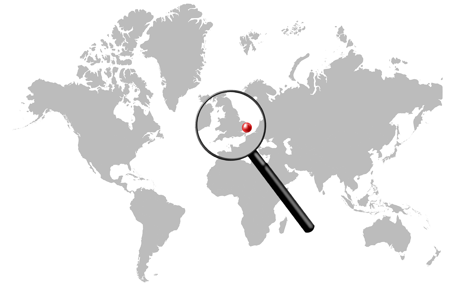
Every time someone mentions a shipping chokepoint, the conversation goes straight to the Strait of Hormuz, Malacca, or the Suez Canal. The Dover Strait barely gets a mention. That is strange, because by one of the most straightforward measures, ships per day, Dover beats them all.
A Narrow Corridor Between Two Worlds
The Dover Strait is the pinch point where the English Channel squeezes to its narrowest. At roughly 34 kilometres across, it separates Dover on the English coast from Calais on the French side. The Channel itself stretches about 560 kilometres from end to end, but this short strip is where the action happens.
Around 400 vessels pass through every day, making it the busiest narrow waterway on the planet by vessel count. Add that up over a year and you get over 100,000 ships, more than pass through Hormuz or Malacca in the same period. The Guinness World Records has recognised it as the world’s busiest shipping lane. In a single year alone, vessels carrying 1.4 billion tonnes gross passed through.
What Travels Through Here
The mix of cargo is enormous. Containers carrying the full range of consumer goods flow between northern European ports and the Atlantic. North Sea oil makes its way out to global markets. Norway’s liquefied natural gas heads south and west. Grain, chemicals, and roll-on/roll-off ferries carrying cars and trucks all share the same crowded corridor.
There is a less-discussed flow too. Russian oil tankers leaving Baltic ports, from Primorsk, Ust-Luga, and others, have to transit the Dover Strait if their cargoes are heading anywhere in the Atlantic world. The geography leaves little choice.
The Motorway Under the Sea
Authorities long ago recognised that leaving hundreds of ships to navigate this corridor without order was a recipe for disaster. The solution is a Traffic Separation Scheme, essentially a maritime motorway. Ships travelling northeast use one lane; ships travelling southwest use another. The zones are monitored by the UK Coastguard from a dedicated centre at Dover, tracking every vessel in real time.
The Channel Tunnel runs underneath all of this. It is a remarkable feat of engineering, but it carries only a fraction of the total freight that moves through the area. Most goods, in particular bulk commodities and large container shipments, simply cannot go by tunnel. They go by sea.
The Real Risk Is Not a War
Most chokepoint articles focus on geopolitics. The Dover Strait is different. Its primary risk is collision, not conflict. With traffic this dense, moving at different speeds in both directions, incidents happen. Serious ones occur multiple times per year, and when a ship runs aground or is disabled in the busiest stretch, salvage operations can temporarily disrupt traffic across the entire lane.
The density also creates a cumulative risk that is easy to underestimate. A container ship is not a car. It can be over 400 metres long and take several kilometres to stop. Manoeuvring room in a 34-kilometre-wide channel shared with ferries, tankers, and fishing vessels is limited.
No Real Alternative
If a ship wants to travel from the North Sea, from Hamburg, Rotterdam, Antwerp, or any of the major northern European ports, to the Atlantic, there is one realistic path. The Dover Strait.
There is technically an alternative: sailing north around the top of Scotland. But that adds roughly a full day to the voyage. For most commercial operators, that is not a detour worth taking. The result is that virtually all trade between the North Sea and the wider ocean is funnelled through this one narrow strip of water between two very ordinary-looking coastal towns.
It is worth noting that the post-Brexit customs arrangements between the UK and EU have created friction at the Port of Dover for road freight crossing by ferry. But the shipping lanes themselves, the maritime routes, operate outside that political layer entirely. Tankers and container ships do not queue at passport control.
Hidden in Plain Sight
The Dover Strait sits between two of the world’s wealthiest countries, in one of the most well-monitored stretches of ocean anywhere. Perhaps that is why it rarely generates alarm. There are no rival nations threatening to close it, no piracy problem, no dramatic desert geography. Just relentless, daily, unglamorous traffic keeping northern Europe connected to the world.
Sometimes the most important places are the ones that look the most routine.
This article is part of Commodities Hub’s ongoing series on the world’s critical maritime chokepoints and their role in global supply chains.